The Free Gardens
Introduction
The photograph on this page of The Free Gardens by Neil Owen as part of the Geograph project.
The Geograph project started in 2005 with the aim of publishing, organising and preserving representative images for every square kilometre of Great Britain, Ireland and the Isle of Man.

There are currently over 7.5m images from over 14,400 individuals and you can help contribute to the project by visiting https://www.geograph.org.uk
The Free Gardens
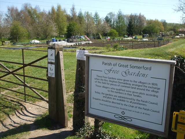
Image: © Neil Owen Taken: 22 Apr 2021
Great Somerford has a small part of history at the outskirts. When an enclosure act of 1809 came into force, the local man Revd. Stephen Demainbray insisted on a clause that allowed him to give a half acre of land to each cottage so affected by the new law. He also set aside eight acres of the glebe for people to use and cultivate crops. By this regal dispensation, the Free Fields became Britain's first public allotments.
Images are licensed for reuse under creativecommons.org/licenses/by-sa/2.0
Image Location
Latitude
51.542735
Longitude
-2.052007