Grove Cottage, Wick Road, Stoke-by-Nayland
Introduction
The photograph on this page of Grove Cottage, Wick Road, Stoke-by-Nayland by David Kemp as part of the Geograph project.
The Geograph project started in 2005 with the aim of publishing, organising and preserving representative images for every square kilometre of Great Britain, Ireland and the Isle of Man.

There are currently over 7.5m images from over 14,400 individuals and you can help contribute to the project by visiting https://www.geograph.org.uk
Grove Cottage, Wick Road, Stoke-by-Nayland
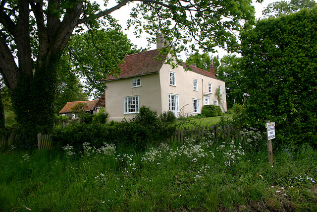
Image: © David Kemp Taken: 20 May 2021
This C16-17 dwelling with an C18 front is shown variously on OS maps as both Grove Cottage and Grove Farm and is Listed by Historic England as Grove Farmhouse.
Images are licensed for reuse under creativecommons.org/licenses/by-sa/2.0
Image Location
Latitude
51.978205
Longitude
0.920455