Mattock Lane, Ealing
Introduction
The photograph on this page of Mattock Lane, Ealing by Tom Jolliffe as part of the Geograph project.
The Geograph project started in 2005 with the aim of publishing, organising and preserving representative images for every square kilometre of Great Britain, Ireland and the Isle of Man.

There are currently over 7.5m images from over 14,400 individuals and you can help contribute to the project by visiting https://www.geograph.org.uk
Mattock Lane, Ealing
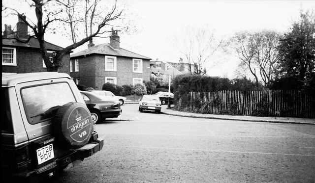
Image: © Tom Jolliffe Taken: Unknown
Early Victorian Cottages, Mattock lane. The name "Mattock", may reflect the agricultural history of this area. Northfields allotments still exist within 50 metres of these cottages. Also see http://www.geograph.org.uk/photo/684470
Images are licensed for reuse under creativecommons.org/licenses/by-sa/2.0
Image Location
Latitude
51.509926
Longitude
-0.318334