The Monarch's Way
Introduction
The photograph on this page of The Monarch's Way by Philip Halling as part of the Geograph project.
The Geograph project started in 2005 with the aim of publishing, organising and preserving representative images for every square kilometre of Great Britain, Ireland and the Isle of Man.

There are currently over 7.5m images from over 14,400 individuals and you can help contribute to the project by visiting https://www.geograph.org.uk
The Monarch's Way
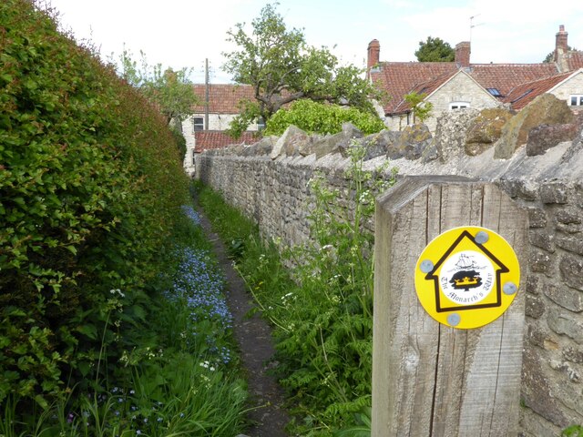
Image: © Philip Halling Taken: 17 May 2021
The Monarch's Way a 625 miles long distance footpath approximately following the route of Charles II's escape from his defeat at the Battle of Worcester in 1651.
Images are licensed for reuse under creativecommons.org/licenses/by-sa/2.0
Image Location


Leaflet Map data © OpenStreetMap
Latitude
51.464445
Longitude
-2.406466