Stafford Way
Introduction
The photograph on this page of Stafford Way by Simon Carey as part of the Geograph project.
The Geograph project started in 2005 with the aim of publishing, organising and preserving representative images for every square kilometre of Great Britain, Ireland and the Isle of Man.

There are currently over 7.5m images from over 14,400 individuals and you can help contribute to the project by visiting https://www.geograph.org.uk
Stafford Way
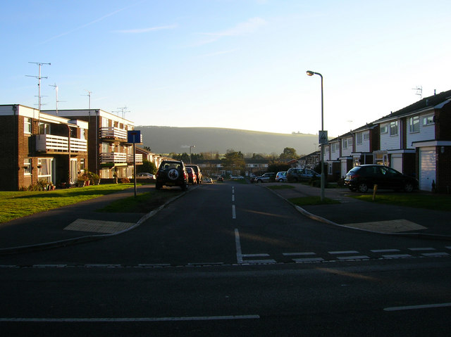
Image: © Simon Carey Taken: 9 Feb 2008
Small cul-de-sac off the Keymer Road with a view of the northern escarpment of the Downs. The outlines of the Clayton windmills can just be made out to the right next to the lamp post.
Images are licensed for reuse under creativecommons.org/licenses/by-sa/2.0
Image Location
Latitude
50.921603
Longitude
-0.133609