Cycle track
Introduction
The photograph on this page of Cycle track by Lis Burke as part of the Geograph project.
The Geograph project started in 2005 with the aim of publishing, organising and preserving representative images for every square kilometre of Great Britain, Ireland and the Isle of Man.

There are currently over 7.5m images from over 14,400 individuals and you can help contribute to the project by visiting https://www.geograph.org.uk
Cycle track
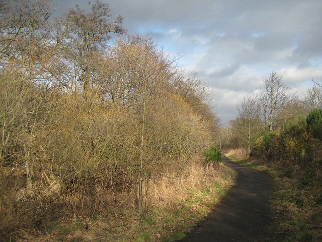
Image: © Lis Burke Taken: 9 Feb 2008
This cycle track between the Almond and the industrial estate is more attractive than you would guess from the map.
Images are licensed for reuse under creativecommons.org/licenses/by-sa/2.0
Image Location
Latitude
56.419344
Longitude
-3.480932