Milestone - Cardigan 28
Introduction
The photograph on this page of Milestone - Cardigan 28 by Adrian Dust as part of the Geograph project.
The Geograph project started in 2005 with the aim of publishing, organising and preserving representative images for every square kilometre of Great Britain, Ireland and the Isle of Man.

There are currently over 7.5m images from over 14,400 individuals and you can help contribute to the project by visiting https://www.geograph.org.uk
Milestone - Cardigan 28
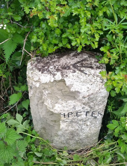
Image: © Adrian Dust Taken: 20 May 2021
There is an Ordnance Survey Rivet on the top of the stone. It marks a point 121.245m above mean sea level.
Images are licensed for reuse under creativecommons.org/licenses/by-sa/2.0
Image Location


Leaflet Map data © OpenStreetMap
Latitude
52.111859
Longitude
-4.090419