Southall FC ground
Introduction
The photograph on this page of Southall FC ground by Ray Stanton as part of the Geograph project.
The Geograph project started in 2005 with the aim of publishing, organising and preserving representative images for every square kilometre of Great Britain, Ireland and the Isle of Man.

There are currently over 7.5m images from over 14,400 individuals and you can help contribute to the project by visiting https://www.geograph.org.uk
Southall FC ground
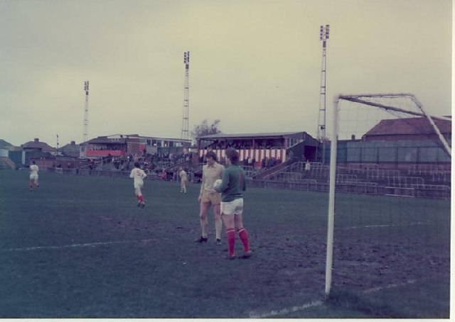
Image: © Ray Stanton Taken: 30 Oct 1976
Looking in opposite direction to previous picture
Images are licensed for reuse under creativecommons.org/licenses/by-sa/2.0
Image Location


Leaflet Map data © OpenStreetMap
Latitude
51.50069
Longitude
-0.390712