View north from Arnage school...
Introduction
The photograph on this page of View north from Arnage school... by Bill Harrison as part of the Geograph project.
The Geograph project started in 2005 with the aim of publishing, organising and preserving representative images for every square kilometre of Great Britain, Ireland and the Isle of Man.

There are currently over 7.5m images from over 14,400 individuals and you can help contribute to the project by visiting https://www.geograph.org.uk
View north from Arnage school...
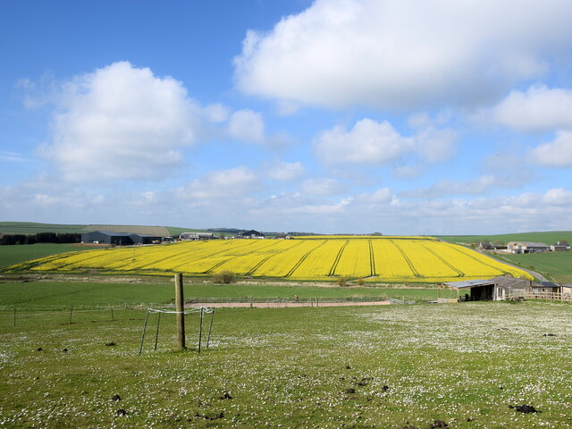
Image: © Bill Harrison Taken: 16 May 2021
...towards the rolling fields of Mains of Fortrie. 'Fortrie' means 'front land', probably meaning an out-lying piece of ground belonging to a farm according to Celtic Placenames in Aberdeenshire by John Milne.
Images are licensed for reuse under creativecommons.org/licenses/by-sa/2.0
Image Location
Latitude
57.443457
Longitude
-2.075286