Arnage Primary School
Introduction
The photograph on this page of Arnage Primary School by Bill Harrison as part of the Geograph project.
The Geograph project started in 2005 with the aim of publishing, organising and preserving representative images for every square kilometre of Great Britain, Ireland and the Isle of Man.

There are currently over 7.5m images from over 14,400 individuals and you can help contribute to the project by visiting https://www.geograph.org.uk
Arnage Primary School
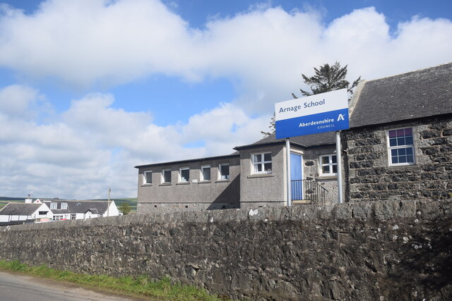
Image: © Bill Harrison Taken: 16 May 2021
The remote primary school with a roll of about 40 (in 2020) serves an extensive catchment area to the north of Ellon.
Images are licensed for reuse under creativecommons.org/licenses/by-sa/2.0
Image Location
Latitude
57.439684
Longitude
-2.075112