The Square, Stuartfield
Introduction
The photograph on this page of The Square, Stuartfield by Bill Harrison as part of the Geograph project.
The Geograph project started in 2005 with the aim of publishing, organising and preserving representative images for every square kilometre of Great Britain, Ireland and the Isle of Man.

There are currently over 7.5m images from over 14,400 individuals and you can help contribute to the project by visiting https://www.geograph.org.uk
The Square, Stuartfield
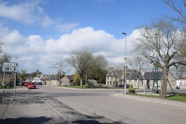
Image: © Bill Harrison Taken: 16 May 2021
Stuartfield is an improvement village dating from ca. 1772 with the streets laid out on a grid pattern and centred on The Square, seen here. Note the Millennium bell (https://www.geograph.org.uk/photo/1198703 ) to the right of the crossroads: interestingly a 'bell pole' is shown on the same spot on the 1900 25-inch OS map of Stuartfield. There is a Canmore listing for the village (120125: https://canmore.org.uk/site/120125/stuartfield ) but no details are given.
Images are licensed for reuse under creativecommons.org/licenses/by-sa/2.0
Image Location
Latitude
57.503115
Longitude
-2.046541