GWR boundary post
Introduction
The photograph on this page of GWR boundary post by Mr Red as part of the Geograph project.
The Geograph project started in 2005 with the aim of publishing, organising and preserving representative images for every square kilometre of Great Britain, Ireland and the Isle of Man.

There are currently over 7.5m images from over 14,400 individuals and you can help contribute to the project by visiting https://www.geograph.org.uk
GWR boundary post
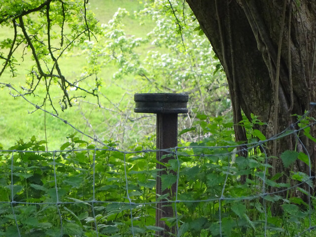
Image: © Mr Red Taken: 12 May 2021
Far side from towpath, over the bridge. GWR bought the MonBrec canal in 1880. Most of these posts were dated to 1917 - 1920. Usually sited in the vicinity of bridges or to protect the area around the outflow of spillwiers. Inscription: Great Western Railway Cᴼs // BOUNDARY / ? Milestone Society National ID: MON_GWRFOI04em
Images are licensed for reuse under creativecommons.org/licenses/by-sa/2.0
Image Location
Latitude
51.792894
Longitude
-3.021426