Ramsfield
Introduction
The photograph on this page of Ramsfield by John Baker as part of the Geograph project.
The Geograph project started in 2005 with the aim of publishing, organising and preserving representative images for every square kilometre of Great Britain, Ireland and the Isle of Man.

There are currently over 7.5m images from over 14,400 individuals and you can help contribute to the project by visiting https://www.geograph.org.uk
Ramsfield
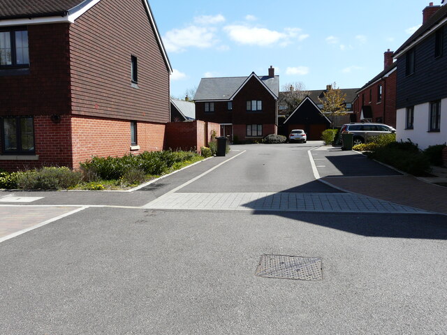
Image: © John Baker Taken: 25 Apr 2021
This was this section of the road called Image in May 2017 on the development is known as Downs View.
Images are licensed for reuse under creativecommons.org/licenses/by-sa/2.0
Image Location


Leaflet Map data © OpenStreetMap
Latitude
51.185606
Longitude
0.933163