Havenstreet: road junction
Introduction
The photograph on this page of Havenstreet: road junction by Chris Downer as part of the Geograph project.
The Geograph project started in 2005 with the aim of publishing, organising and preserving representative images for every square kilometre of Great Britain, Ireland and the Isle of Man.

There are currently over 7.5m images from over 14,400 individuals and you can help contribute to the project by visiting https://www.geograph.org.uk
Havenstreet: road junction
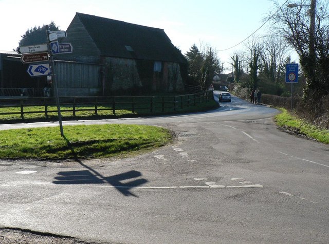
Image: © Chris Downer Taken: 9 Feb 2008
The junction to the north of the village, with the road to Ryde left of picture and Image to the right. The Isle of Wight cycleway route is denoted by signs depicting a cycle within an Isle of Wight-shaped patch.
Images are licensed for reuse under creativecommons.org/licenses/by-sa/2.0
Image Location
Latitude
50.712937
Longitude
-1.20296