Canal and Staffordshire farmland near Swindon
Introduction
The photograph on this page of Canal and Staffordshire farmland near Swindon by Roger Kidd as part of the Geograph project.
The Geograph project started in 2005 with the aim of publishing, organising and preserving representative images for every square kilometre of Great Britain, Ireland and the Isle of Man.

There are currently over 7.5m images from over 14,400 individuals and you can help contribute to the project by visiting https://www.geograph.org.uk
Canal and Staffordshire farmland near Swindon
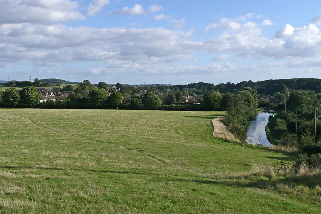
Image: © Roger Kidd Taken: 29 Aug 2010
Looking south towards Swindon from the public footpath crossing fields between Botterham and Swindon. The current track on the ground does wander a bit off the course shown on maps. On the right is the Staffordshire and Worcestershire Canal approaching Marsh Lock .
Images are licensed for reuse under creativecommons.org/licenses/by-sa/2.0
Image Location
Latitude
52.516797
Longitude
-2.204498