Gore Farm farmhouse
Introduction
The photograph on this page of Gore Farm farmhouse by Richard Dorrell as part of the Geograph project.
The Geograph project started in 2005 with the aim of publishing, organising and preserving representative images for every square kilometre of Great Britain, Ireland and the Isle of Man.

There are currently over 7.5m images from over 14,400 individuals and you can help contribute to the project by visiting https://www.geograph.org.uk
Gore Farm farmhouse
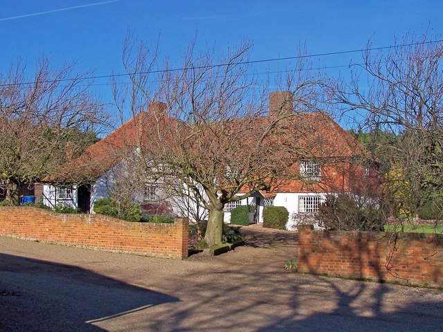
Image: © Richard Dorrell Taken: 10 Feb 2008
Tucked away down a private lane, and bathed in winter sunshine, stands this beautiful Kent farmhouse. The photograph is taken from a public footpath.
Images are licensed for reuse under creativecommons.org/licenses/by-sa/2.0
Image Location
Latitude
51.367627
Longitude
0.647361