Pond at Blythe Bridge
Introduction
The photograph on this page of Pond at Blythe Bridge by Stephen McKay as part of the Geograph project.
The Geograph project started in 2005 with the aim of publishing, organising and preserving representative images for every square kilometre of Great Britain, Ireland and the Isle of Man.

There are currently over 7.5m images from over 14,400 individuals and you can help contribute to the project by visiting https://www.geograph.org.uk
Pond at Blythe Bridge
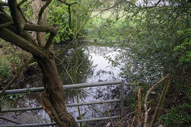
Image: © Stephen McKay Taken: 13 May 2021
This small pond is tucked away near the end of Manifold Road and can be viewed from the footpath that runs around the school playing field.
Images are licensed for reuse under creativecommons.org/licenses/by-sa/2.0
Image Location
Latitude
52.97102
Longitude
-2.062498