Slate Pit Dale
Introduction
The photograph on this page of Slate Pit Dale by Bill Boaden as part of the Geograph project.
The Geograph project started in 2005 with the aim of publishing, organising and preserving representative images for every square kilometre of Great Britain, Ireland and the Isle of Man.

There are currently over 7.5m images from over 14,400 individuals and you can help contribute to the project by visiting https://www.geograph.org.uk
Slate Pit Dale
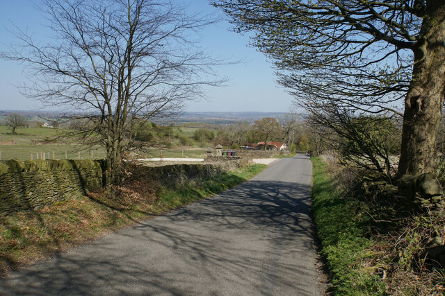
Image: © Bill Boaden Taken: 19 Apr 2021
A lane that cuts off the corner between Matlock Road and High Lane on the way to Holymoorside.
Images are licensed for reuse under creativecommons.org/licenses/by-sa/2.0
Image Location
Latitude
53.208315
Longitude
-1.485351