Green Lane, Blythe Bridge
Introduction
The photograph on this page of Green Lane, Blythe Bridge by Stephen McKay as part of the Geograph project.
The Geograph project started in 2005 with the aim of publishing, organising and preserving representative images for every square kilometre of Great Britain, Ireland and the Isle of Man.

There are currently over 7.5m images from over 14,400 individuals and you can help contribute to the project by visiting https://www.geograph.org.uk
Green Lane, Blythe Bridge
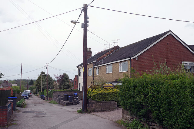
Image: © Stephen McKay Taken: 13 May 2021
Green Lane leads off Uttoxeter Road beside the methodist church. The poor road surface, lack of pavements and the decidedly primitive overhead wiring arrangements give the area a rather rough and ready feel.
Images are licensed for reuse under creativecommons.org/licenses/by-sa/2.0
Image Location
Latitude
52.965538
Longitude
-2.059959