Direction Sign ? Signpost on West End, Wedmore
Introduction
The photograph on this page of Direction Sign ? Signpost on West End, Wedmore by J Dowding as part of the Geograph project.
The Geograph project started in 2005 with the aim of publishing, organising and preserving representative images for every square kilometre of Great Britain, Ireland and the Isle of Man.

There are currently over 7.5m images from over 14,400 individuals and you can help contribute to the project by visiting https://www.geograph.org.uk
Direction Sign ? Signpost on West End, Wedmore
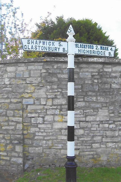
Image: © J Dowding Taken: 11 May 2021
Located on the southwest side of the T junction of West End and Plud Street in Wedmore parish. 2 arms and pyramid spear finial. Milestone Society National ID: SO_ST4347C
Images are licensed for reuse under creativecommons.org/licenses/by-sa/2.0
Image Location


Leaflet Map data © OpenStreetMap
Latitude
51.223456
Longitude
-2.816248