Field south of Waye Farm
Introduction
The photograph on this page of Field south of Waye Farm by Derek Harper as part of the Geograph project.
The Geograph project started in 2005 with the aim of publishing, organising and preserving representative images for every square kilometre of Great Britain, Ireland and the Isle of Man.

There are currently over 7.5m images from over 14,400 individuals and you can help contribute to the project by visiting https://www.geograph.org.uk
Field south of Waye Farm
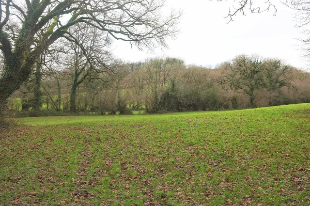
Image: © Derek Harper Taken: 2 Jan 2021
From a gateway by Ashburton footpath 16. A stream runs past the trees across he meadow, its progress rather interrupted by the spoil heap at Linhay Hill Quarry.
Images are licensed for reuse under creativecommons.org/licenses/by-sa/2.0
Image Location
Latitude
50.530871
Longitude
-3.741327