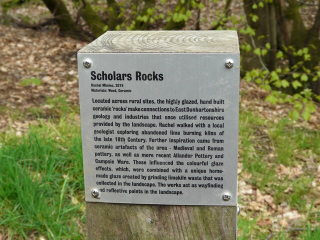
Information panel - Scholars Rocks
Introduction
The photograph on this page of Information panel - Scholars Rocks by Richard Sutcliffe as part of the Geograph project.
The Geograph project started in 2005 with the aim of publishing, organising and preserving representative images for every square kilometre of Great Britain, Ireland and the Isle of Man.
There are currently over 7.5m images from over 14,400 individuals and you can help contribute to the project by visiting https://www.geograph.org.uk

Image: © Richard Sutcliffe Taken: 14 May 2021
Information panel beside the West Highland Way, relating to a number of installations beside the path. Scholars Rocks Rachel Mimiec, 2019 Materials: Wood, Ceramic Located across rural sites, the highly glazed, hand built ceramic ‘rocks’ make connections to East Dunbartonshire geology and industries that once utilised resources provided by the landscape. Rachel walked with a local geologist exploring abandoned lime burning kilns of the late 18th Century. Further inspiration came from ceramic artefacts of the area – Medieval and Roman pottery, as well as more recent Allander Pottery and Campsie Ware. These influenced the colourful glaze effects, which, were combined with a unique home- made glaze created by grinding limekiln waste that was collected in the landscape. The works act as wayfinding and reflective points in the landscape. Examples of the installations include Image, Image

