In the Field beside Peckfield House Farm
Introduction
The photograph on this page of In the Field beside Peckfield House Farm by Chris Heaton as part of the Geograph project.
The Geograph project started in 2005 with the aim of publishing, organising and preserving representative images for every square kilometre of Great Britain, Ireland and the Isle of Man.

There are currently over 7.5m images from over 14,400 individuals and you can help contribute to the project by visiting https://www.geograph.org.uk
In the Field beside Peckfield House Farm
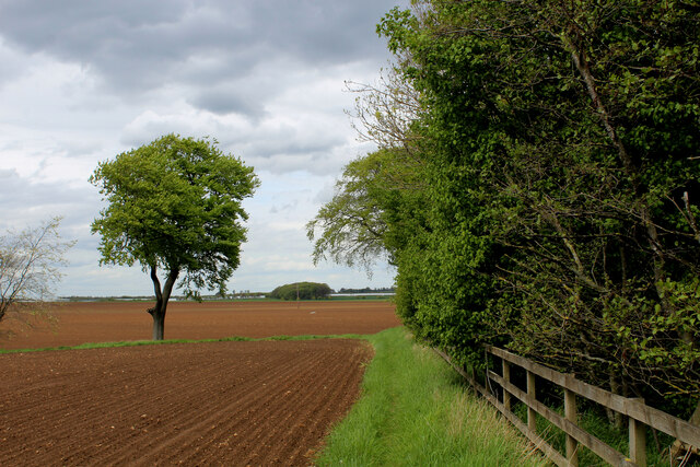
Image: © Chris Heaton Taken: 9 May 2021
There is a public footpath that crosses this field to the A656 Roman Ridge. Newly ploughed, and containing soil that adheres to ones footwear in large clumps - I opted to divert around the edge.
Images are licensed for reuse under creativecommons.org/licenses/by-sa/2.0
Image Location


Leaflet Map data © OpenStreetMap
Latitude
53.780872
Longitude
-1.353023