Turnbull Drive crossing Kingsway, Braunstone Town, Leicester
Introduction
The photograph on this page of Turnbull Drive crossing Kingsway, Braunstone Town, Leicester by Tim Heaton as part of the Geograph project.
The Geograph project started in 2005 with the aim of publishing, organising and preserving representative images for every square kilometre of Great Britain, Ireland and the Isle of Man.

There are currently over 7.5m images from over 14,400 individuals and you can help contribute to the project by visiting https://www.geograph.org.uk
Turnbull Drive crossing Kingsway, Braunstone Town, Leicester
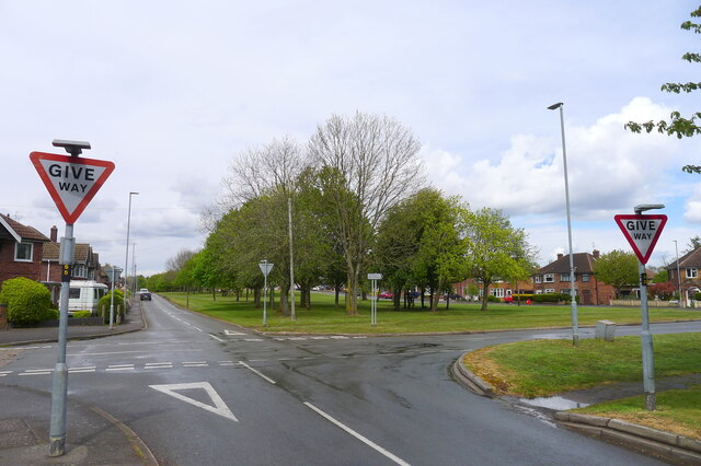
Image: © Tim Heaton Taken: 5 May 2021
"... the striking feature of Braunstone Town is the wide Kingsway, a road which features a large village green at its heart running for the entirety of the street." https://www.secret-bases.co.uk/wiki/Braunstone_Park_%26_Rowley_Fields. I'm not able to find out why this wide corridor of grass and trees, extending almost a mile from the edge of the Soar floodplain, has not been built on.
Images are licensed for reuse under creativecommons.org/licenses/by-sa/2.0
Image Location
Latitude
52.610061
Longitude
-1.180343