Carreg Castell y Gwynt
Introduction
The photograph on this page of Carreg Castell y Gwynt by Alan Richards as part of the Geograph project.
The Geograph project started in 2005 with the aim of publishing, organising and preserving representative images for every square kilometre of Great Britain, Ireland and the Isle of Man.

There are currently over 7.5m images from over 14,400 individuals and you can help contribute to the project by visiting https://www.geograph.org.uk
Carreg Castell y Gwynt
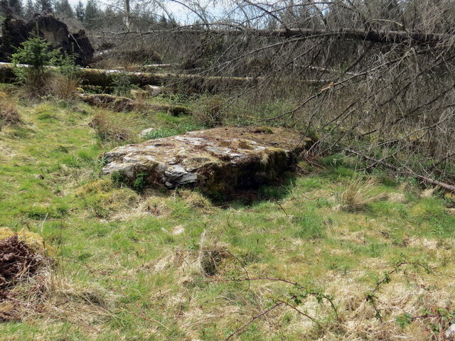
Image: © Alan Richards Taken: 12 May 2021
Capfaen cistfaen honedig o'r Oes Efydd o'r enw Carreg Castell y Gwynt. Fe'i henwyd ar ol anhedd-dy adfeiliedig gerllaw. The apparent Bronze Age capstone of a cistfaen known as Carreg Castell y Gwynt (trans. castle of the wind stone) and named after a nearby ruinous abode.
Images are licensed for reuse under creativecommons.org/licenses/by-sa/2.0
Image Location
Latitude
51.954425
Longitude
-4.109574