Barn and county boundary marker, Pitt Farm, Culmstock
Introduction
The photograph on this page of Barn and county boundary marker, Pitt Farm, Culmstock by David Smith as part of the Geograph project.
The Geograph project started in 2005 with the aim of publishing, organising and preserving representative images for every square kilometre of Great Britain, Ireland and the Isle of Man.

There are currently over 7.5m images from over 14,400 individuals and you can help contribute to the project by visiting https://www.geograph.org.uk
Barn and county boundary marker, Pitt Farm, Culmstock
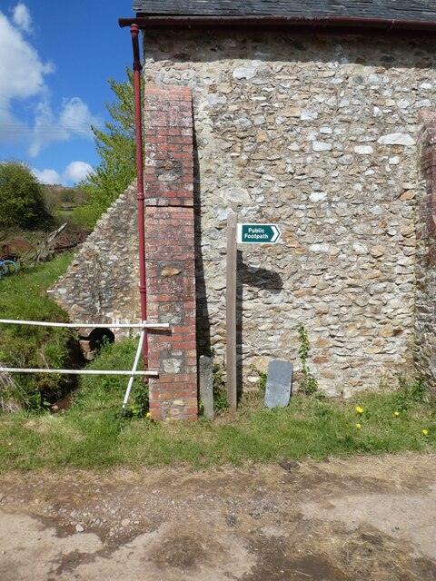
Image: © David Smith Taken: 4 May 2021
Beside the footpath signpost, there is a county boundary marker Image]; however the county boundary is not here
Images are licensed for reuse under creativecommons.org/licenses/by-sa/2.0
Image Location
Latitude
50.922342
Longitude
-3.268168