Ffordd gul ger Bronant / Narrow lane near Bronant
Introduction
The photograph on this page of Ffordd gul ger Bronant / Narrow lane near Bronant by Ian Medcalf as part of the Geograph project.
The Geograph project started in 2005 with the aim of publishing, organising and preserving representative images for every square kilometre of Great Britain, Ireland and the Isle of Man.

There are currently over 7.5m images from over 14,400 individuals and you can help contribute to the project by visiting https://www.geograph.org.uk
Ffordd gul ger Bronant / Narrow lane near Bronant
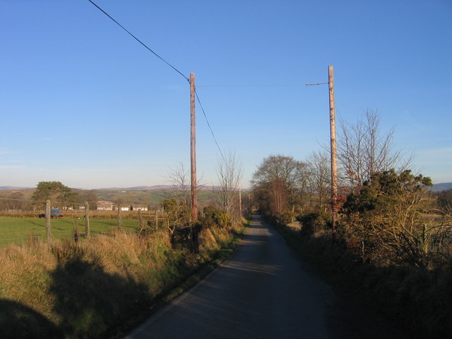
Image: © Ian Medcalf Taken: 9 Feb 2008
Lon yn arwain o Bronant i Bontnewydd / Lane leading from Bronant to Bontnewydd
Images are licensed for reuse under creativecommons.org/licenses/by-sa/2.0
Image Location


Leaflet Map data © OpenStreetMap
Latitude
52.282631
Longitude
-3.99597