Vale of Rheidol Railway level crossing at Glanyrafon
Introduction
The photograph on this page of Vale of Rheidol Railway level crossing at Glanyrafon by John Lucas as part of the Geograph project.
The Geograph project started in 2005 with the aim of publishing, organising and preserving representative images for every square kilometre of Great Britain, Ireland and the Isle of Man.

There are currently over 7.5m images from over 14,400 individuals and you can help contribute to the project by visiting https://www.geograph.org.uk
Vale of Rheidol Railway level crossing at Glanyrafon
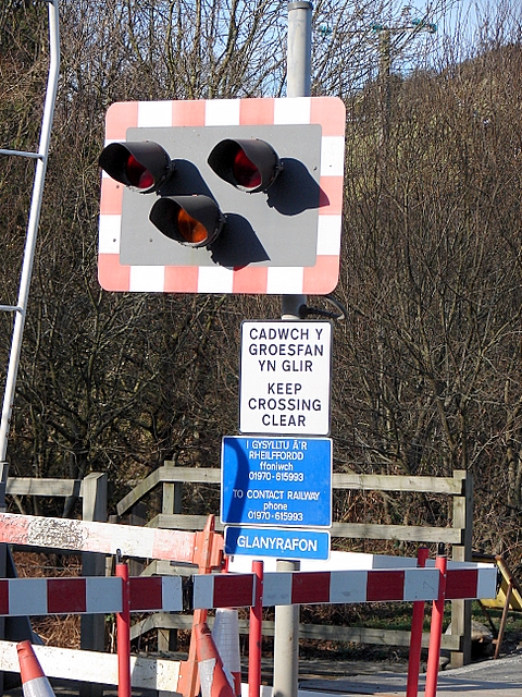
Image: © John Lucas Taken: 9 Feb 2008
Close-up of lights and signs at the crossing. Note the spelling 'Glanyrafon' although 'Glanrafon' is used on some maps and the OS gazetteer.
Images are licensed for reuse under creativecommons.org/licenses/by-sa/2.0
Image Location
Latitude
52.403819
Longitude
-4.044365