Ashe or Loudham watermill
Introduction
The photograph on this page of Ashe or Loudham watermill by Adrian S Pye as part of the Geograph project.
The Geograph project started in 2005 with the aim of publishing, organising and preserving representative images for every square kilometre of Great Britain, Ireland and the Isle of Man.

There are currently over 7.5m images from over 14,400 individuals and you can help contribute to the project by visiting https://www.geograph.org.uk
Ashe or Loudham watermill
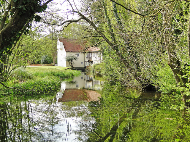
Image: © Adrian S Pye Taken: 11 May 2021
The mill and the mill house are listed Grade II*. The old abbey which once stood in the grounds are recorded but not the history of the mill. There was a mill recorded here on the River Deben in Domesday 1086. Some sources call this Loudham Mill others call it Ashe Mill. Water for the mill comes from Decoy Pond on the opposite side of the road. https://www.geograph.org.uk/photo/6979270
Images are licensed for reuse under creativecommons.org/licenses/by-sa/2.0
Image Location
Latitude
52.139868
Longitude
1.385764