Descent into Liddesdale
Introduction
The photograph on this page of Descent into Liddesdale by Oliver Dixon as part of the Geograph project.
The Geograph project started in 2005 with the aim of publishing, organising and preserving representative images for every square kilometre of Great Britain, Ireland and the Isle of Man.

There are currently over 7.5m images from over 14,400 individuals and you can help contribute to the project by visiting https://www.geograph.org.uk
Descent into Liddesdale
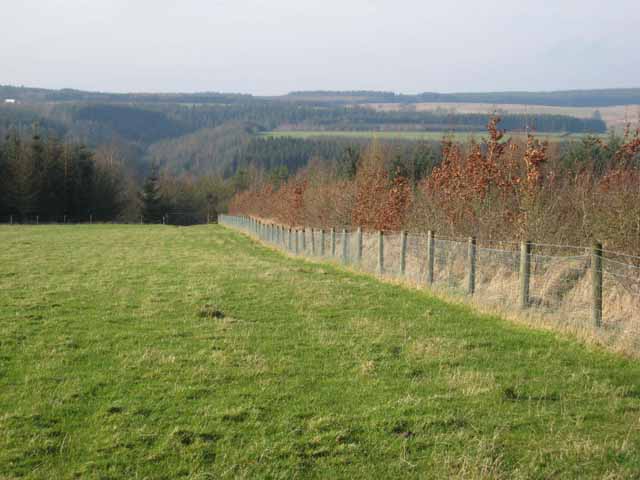
Image: © Oliver Dixon Taken: 9 Feb 2008
A little-used footpath runs beside this young shelter-belt planted with beech, from Old Hall down to the river Liddel. On the far side of the valley is Scotland.
Images are licensed for reuse under creativecommons.org/licenses/by-sa/2.0
Image Location
Latitude
55.103231
Longitude
-2.86573