The Podger, Garforth
Introduction
The photograph on this page of The Podger, Garforth by Chris Heaton as part of the Geograph project.
The Geograph project started in 2005 with the aim of publishing, organising and preserving representative images for every square kilometre of Great Britain, Ireland and the Isle of Man.

There are currently over 7.5m images from over 14,400 individuals and you can help contribute to the project by visiting https://www.geograph.org.uk
The Podger, Garforth
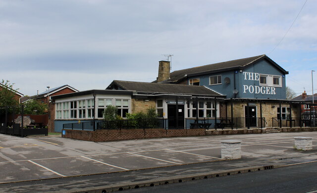
Image: © Chris Heaton Taken: 9 May 2021
Public house with an unusual name. It does not refer to an individual of tubby girth, - but rather to a steel or iron bar used as a lever or spanner.
Images are licensed for reuse under creativecommons.org/licenses/by-sa/2.0
Image Location
Latitude
53.792684
Longitude
-1.376978