WWII Berkshire: RAF Grove - Small Arms Range (3)
Introduction
The photograph on this page of WWII Berkshire: RAF Grove - Small Arms Range (3) by Mike Searle as part of the Geograph project.
The Geograph project started in 2005 with the aim of publishing, organising and preserving representative images for every square kilometre of Great Britain, Ireland and the Isle of Man.

There are currently over 7.5m images from over 14,400 individuals and you can help contribute to the project by visiting https://www.geograph.org.uk
WWII Berkshire: RAF Grove - Small Arms Range (3)
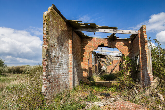
Image: © Mike Searle Taken: 29 Apr 2021
The view from end to end of the covered firing point which has lost its roof, and in a ruinous state. Image
Images are licensed for reuse under creativecommons.org/licenses/by-sa/2.0
Image Location
Latitude
51.611018
Longitude
-1.442517