Multi-storey flats (2)
Introduction
The photograph on this page of Multi-storey flats (2) by Paul McIlroy as part of the Geograph project.
The Geograph project started in 2005 with the aim of publishing, organising and preserving representative images for every square kilometre of Great Britain, Ireland and the Isle of Man.

There are currently over 7.5m images from over 14,400 individuals and you can help contribute to the project by visiting https://www.geograph.org.uk
Multi-storey flats (2)
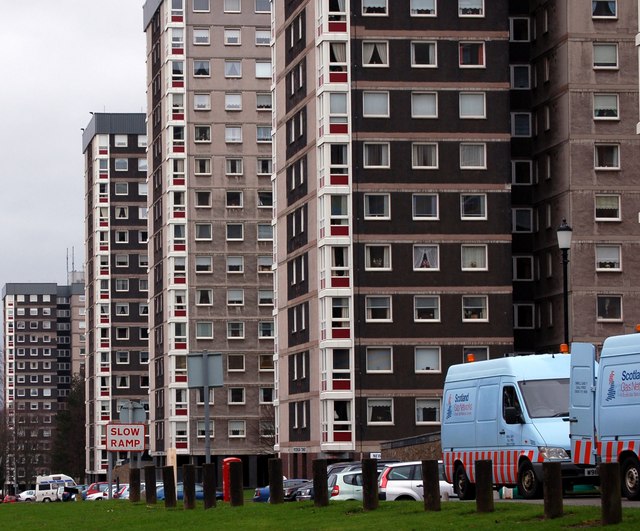
Image: © Paul McIlroy Taken: 7 Feb 2008
These blocks of flats were built in the 1960s on part of the grounds of Callendar House.
Images are licensed for reuse under creativecommons.org/licenses/by-sa/2.0
Image Location
Latitude
55.996416
Longitude
-3.772253