Farmland near Alicehead
Introduction
The photograph on this page of Farmland near Alicehead by Bill Boaden as part of the Geograph project.
The Geograph project started in 2005 with the aim of publishing, organising and preserving representative images for every square kilometre of Great Britain, Ireland and the Isle of Man.

There are currently over 7.5m images from over 14,400 individuals and you can help contribute to the project by visiting https://www.geograph.org.uk
Farmland near Alicehead
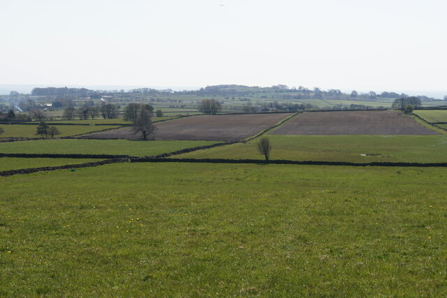
Image: © Bill Boaden Taken: 19 Apr 2021
Part of a plateau of farmland at around 300 metres above sea level. The far hill overlooks Ashover.
Images are licensed for reuse under creativecommons.org/licenses/by-sa/2.0
Image Location
Latitude
53.191104
Longitude
-1.496483