Dere Street
Introduction
The photograph on this page of Dere Street by Gordon Hatton as part of the Geograph project.
The Geograph project started in 2005 with the aim of publishing, organising and preserving representative images for every square kilometre of Great Britain, Ireland and the Isle of Man.

There are currently over 7.5m images from over 14,400 individuals and you can help contribute to the project by visiting https://www.geograph.org.uk
Dere Street
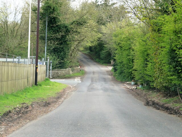
Image: © Gordon Hatton Taken: 9 May 2021
Part of the old Roman Road from York and Aldborough to the north. No longer in use by either Roman legions or through traffic as this is now a dead end thanks to the nearby A1(M) cutting the route.
Images are licensed for reuse under creativecommons.org/licenses/by-sa/2.0
Image Location
Latitude
54.468178
Longitude
-1.669635