Jubilee Terrace
Introduction
The photograph on this page of Jubilee Terrace by Gordon Hatton as part of the Geograph project.
The Geograph project started in 2005 with the aim of publishing, organising and preserving representative images for every square kilometre of Great Britain, Ireland and the Isle of Man.

There are currently over 7.5m images from over 14,400 individuals and you can help contribute to the project by visiting https://www.geograph.org.uk
Jubilee Terrace
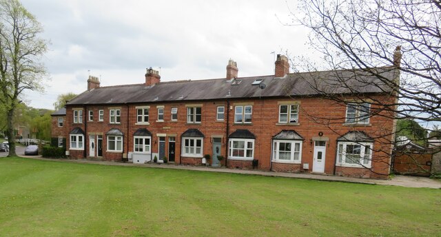
Image: © Gordon Hatton Taken: 9 May 2021
Across the village green to Jubilee Terrace which straddles the grid line. By the look of the houses one might assume that they were built at the time of Queen Victoria's diamond jubilee in 1897.
Images are licensed for reuse under creativecommons.org/licenses/by-sa/2.0
Image Location
Latitude
54.472967
Longitude
-1.646759