Rear of Associated Waste Management
Introduction
The photograph on this page of Rear of Associated Waste Management by Stephen Craven as part of the Geograph project.
The Geograph project started in 2005 with the aim of publishing, organising and preserving representative images for every square kilometre of Great Britain, Ireland and the Isle of Man.

There are currently over 7.5m images from over 14,400 individuals and you can help contribute to the project by visiting https://www.geograph.org.uk
Rear of Associated Waste Management
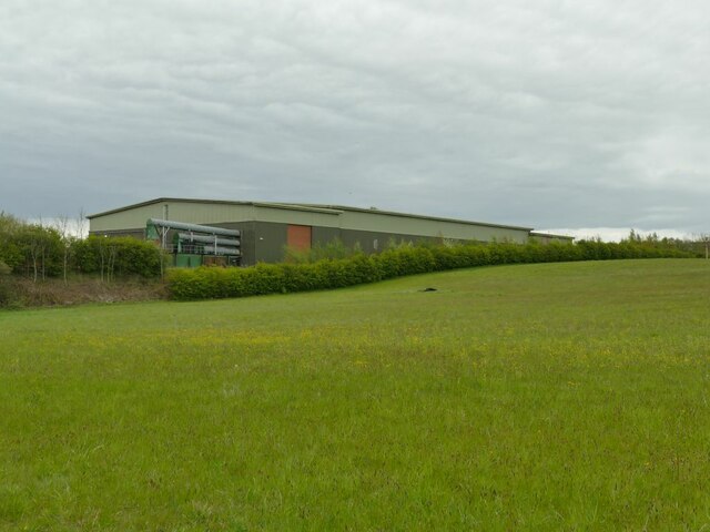
Image: © Stephen Craven Taken: 9 May 2021
On the site of the former St Bernard's Mill Image For the other end of the building, facing the A62, see Image
Images are licensed for reuse under creativecommons.org/licenses/by-sa/2.0
Image Location


Leaflet Map data © OpenStreetMap
Latitude
53.765446
Longitude
-1.610395