Entrance drive to Hunter Hall School from Carleton Road
Introduction
The photograph on this page of Entrance drive to Hunter Hall School from Carleton Road by Luke Shaw as part of the Geograph project.
The Geograph project started in 2005 with the aim of publishing, organising and preserving representative images for every square kilometre of Great Britain, Ireland and the Isle of Man.

There are currently over 7.5m images from over 14,400 individuals and you can help contribute to the project by visiting https://www.geograph.org.uk
Entrance drive to Hunter Hall School from Carleton Road
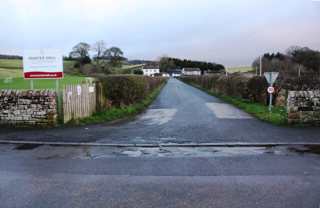
Image: © Luke Shaw Taken: 4 Feb 2020
Ordnance Survey documents indicate that a benchmark was levelled at 371.667 feet above Liverpool Datum on a gatepost at the entrance during the 1844 Penrith to Darlington Survey. The surveyor's description was 'No. 6. Mark on pier of gate to Mr. Phair's house, at North side of road ; 1.71 ft. above surface'. The mark was relevelled at 113.124m above Newlyn Datum in 1972.
Images are licensed for reuse under creativecommons.org/licenses/by-sa/2.0
Image Location
Latitude
54.658695
Longitude
-2.723557