The path round Forbes Hole local nature reserve
Introduction
The photograph on this page of The path round Forbes Hole local nature reserve by David Lally as part of the Geograph project.
The Geograph project started in 2005 with the aim of publishing, organising and preserving representative images for every square kilometre of Great Britain, Ireland and the Isle of Man.

There are currently over 7.5m images from over 14,400 individuals and you can help contribute to the project by visiting https://www.geograph.org.uk
The path round Forbes Hole local nature reserve
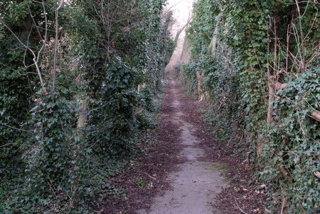
Image: © David Lally Taken: 9 Feb 2008
This tiny patch of natural chaos is bordered by a railway line industrial estates and roads.
Images are licensed for reuse under creativecommons.org/licenses/by-sa/2.0
Image Location
Latitude
52.887311
Longitude
-1.263406