Blore Heath Farm Plaque
Introduction
The photograph on this page of Blore Heath Farm Plaque by Brian Deegan as part of the Geograph project.
The Geograph project started in 2005 with the aim of publishing, organising and preserving representative images for every square kilometre of Great Britain, Ireland and the Isle of Man.

There are currently over 7.5m images from over 14,400 individuals and you can help contribute to the project by visiting https://www.geograph.org.uk
Blore Heath Farm Plaque
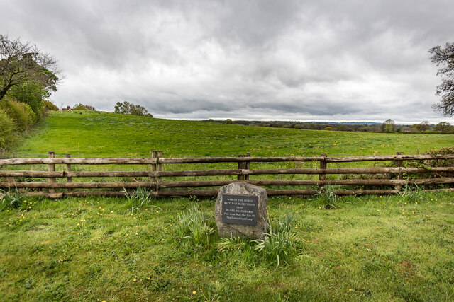
Image: © Brian Deegan Taken: 8 May 2021
The plaque commemorates the battle of Blore Heath in 1459. The area was the site of the Lancastrian camp.
Images are licensed for reuse under creativecommons.org/licenses/by-sa/2.0
Image Location


Leaflet Map data © OpenStreetMap
Latitude
52.914232
Longitude
-2.435975