Corley Moor, looking north from Wall Hill Road towards Stone House Farm
Introduction
The photograph on this page of Corley Moor, looking north from Wall Hill Road towards Stone House Farm by A J Paxton as part of the Geograph project.
The Geograph project started in 2005 with the aim of publishing, organising and preserving representative images for every square kilometre of Great Britain, Ireland and the Isle of Man.

There are currently over 7.5m images from over 14,400 individuals and you can help contribute to the project by visiting https://www.geograph.org.uk
Corley Moor, looking north from Wall Hill Road towards Stone House Farm
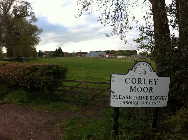
Image: © A J Paxton Taken: 7 May 2021
Corley Moor was enclosed in 1847 and has given its name to a settlement at the western end of the parish of Corley. https://www.british-history.ac.uk/vch/warks/vol4/pp57-60#fnn2
Images are licensed for reuse under creativecommons.org/licenses/by-sa/2.0
Image Location
Latitude
52.459858
Longitude
-1.578744