Junction of Mapperley Rise / Morley Avenue
Introduction
The photograph on this page of Junction of Mapperley Rise / Morley Avenue by Luke Shaw as part of the Geograph project.
The Geograph project started in 2005 with the aim of publishing, organising and preserving representative images for every square kilometre of Great Britain, Ireland and the Isle of Man.

There are currently over 7.5m images from over 14,400 individuals and you can help contribute to the project by visiting https://www.geograph.org.uk
Junction of Mapperley Rise / Morley Avenue
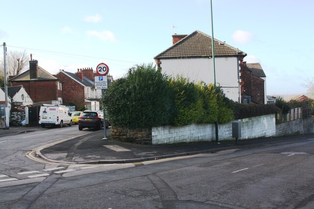
Image: © Luke Shaw Taken: 1 Feb 2020
There is an Ordnance Survey benchmark Image on the stone wall at the junction about 1 foot left of the white-painted section
Images are licensed for reuse under creativecommons.org/licenses/by-sa/2.0
Image Location
Latitude
52.980374
Longitude
-1.133289