Path near Stoke Gabriel
Introduction
The photograph on this page of Path near Stoke Gabriel by Derek Harper as part of the Geograph project.
The Geograph project started in 2005 with the aim of publishing, organising and preserving representative images for every square kilometre of Great Britain, Ireland and the Isle of Man.

There are currently over 7.5m images from over 14,400 individuals and you can help contribute to the project by visiting https://www.geograph.org.uk
Path near Stoke Gabriel
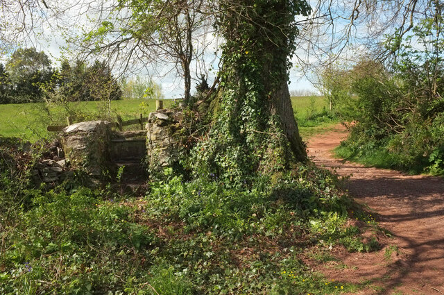
Image: © Derek Harper Taken: 5 May 2021
Stoke Gabriel footpath 3 passes through a field boundary, but not by the route once intended; there is one of several local stone stiles on the left side of the tree/
Images are licensed for reuse under creativecommons.org/licenses/by-sa/2.0
Image Location


Leaflet Map data © OpenStreetMap
Latitude
50.402552
Longitude
-3.627984