Woodland, Hermitage
Introduction
The photograph on this page of Woodland, Hermitage by Andrew Smith as part of the Geograph project.
The Geograph project started in 2005 with the aim of publishing, organising and preserving representative images for every square kilometre of Great Britain, Ireland and the Isle of Man.

There are currently over 7.5m images from over 14,400 individuals and you can help contribute to the project by visiting https://www.geograph.org.uk
Woodland, Hermitage
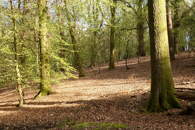
Image: © Andrew Smith Taken: 2 May 2021
Near the western edge of Fence Wood with public access courtesy of the Eling Estate.
Images are licensed for reuse under creativecommons.org/licenses/by-sa/2.0
Image Location
Latitude
51.439952
Longitude
-1.270081