Pont Spwdwr
Introduction
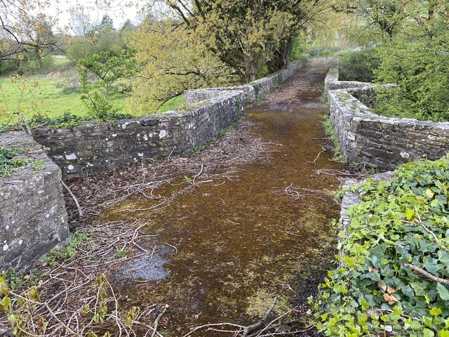
The photograph on this page of Pont Spwdwr by Alan Hughes as part of the Geograph project.
The Geograph project started in 2005 with the aim of publishing, organising and preserving representative images for every square kilometre of Great Britain, Ireland and the Isle of Man.
There are currently over 7.5m images from over 14,400 individuals and you can help contribute to the project by visiting https://www.geograph.org.uk

Image: © Alan Hughes Taken: 5 May 2021
Pont Spwdwr, Spudder's Bridge, was probably built in the second half of the sixteenth century. The wing walls were added by Thomas Kymer in 1770. It is a single-carriageway rubble-stone bridge of four main spans, steeply ramped to the centre. The piers and abutments have V-shaped cutwaters rising to the parapet to form refuges. Each span has a pointed arch, of which the two central spans are wider and higher. The two southernmost arches span the river, the remaining two are built over floodplain. Further north ( - shown here) are two additional low and narrow pointed arches built over the floodplain on the approach to the bridge. The plain parapet continues on the north side, where it forms a field boundary and terminates in a field gate. [Coflein].

