Oakdale House, Charter Way
Introduction
The photograph on this page of Oakdale House, Charter Way by Des Blenkinsopp as part of the Geograph project.
The Geograph project started in 2005 with the aim of publishing, organising and preserving representative images for every square kilometre of Great Britain, Ireland and the Isle of Man.

There are currently over 7.5m images from over 14,400 individuals and you can help contribute to the project by visiting https://www.geograph.org.uk
Oakdale House, Charter Way
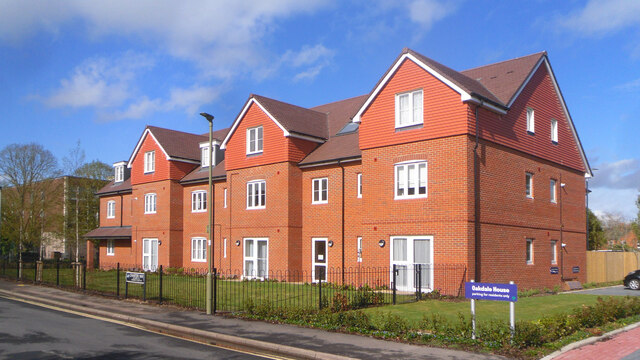
Image: © Des Blenkinsopp Taken: 5 May 2021
A recently completed development on a site previously occupied by flats only built in the 1960s or 70s but obviously considered past their best. There is a lot of older housing nearby which has passed the test of time much more successfully.
Images are licensed for reuse under creativecommons.org/licenses/by-sa/2.0
Image Location
Latitude
51.599238
Longitude
-1.131382