Downstream from Langton Bridge
Introduction
The photograph on this page of Downstream from Langton Bridge by Gordon Hatton as part of the Geograph project.
The Geograph project started in 2005 with the aim of publishing, organising and preserving representative images for every square kilometre of Great Britain, Ireland and the Isle of Man.

There are currently over 7.5m images from over 14,400 individuals and you can help contribute to the project by visiting https://www.geograph.org.uk
Downstream from Langton Bridge
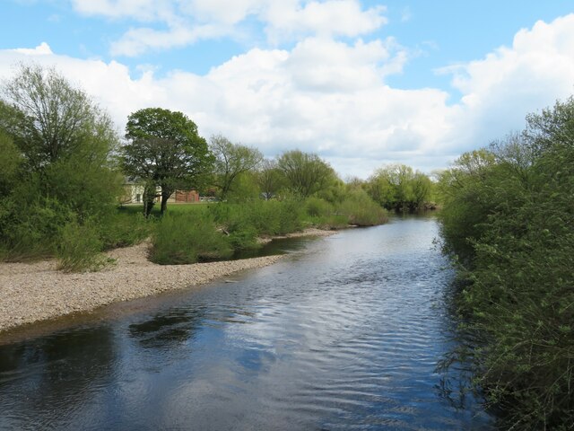
Image: © Gordon Hatton Taken: 6 May 2021
Looking downstream along the Swale which has extensive gravel banks here and as yet is not confined to a narrow channel between flood banks as is the case further downstream.
Images are licensed for reuse under creativecommons.org/licenses/by-sa/2.0
Image Location
Latitude
54.362025
Longitude
-1.552914