School Bank, Middleton Tyas
Introduction
The photograph on this page of School Bank, Middleton Tyas by Gordon Hatton as part of the Geograph project.
The Geograph project started in 2005 with the aim of publishing, organising and preserving representative images for every square kilometre of Great Britain, Ireland and the Isle of Man.

There are currently over 7.5m images from over 14,400 individuals and you can help contribute to the project by visiting https://www.geograph.org.uk
School Bank, Middleton Tyas
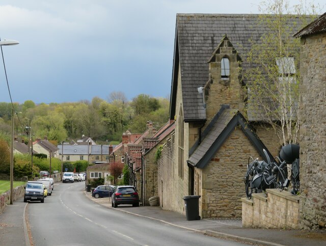
Image: © Gordon Hatton Taken: 6 May 2021
A village street named after the building on the right which was once the village school and is now a private residence. The current school is on the north side of the village in an adjoining grid square.
Images are licensed for reuse under creativecommons.org/licenses/by-sa/2.0
Image Location


Leaflet Map data © OpenStreetMap
Latitude
54.448078
Longitude
-1.648669