Stanlake Villas
Introduction
The photograph on this page of Stanlake Villas by Phillip Perry as part of the Geograph project.
The Geograph project started in 2005 with the aim of publishing, organising and preserving representative images for every square kilometre of Great Britain, Ireland and the Isle of Man.

There are currently over 7.5m images from over 14,400 individuals and you can help contribute to the project by visiting https://www.geograph.org.uk
Stanlake Villas
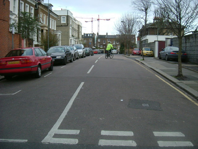
Image: © Phillip Perry Taken: 7 Feb 2008
Stanlake Villas looking east, on the right (the grey wall) is the back gate of Shepherd's Bush police station, the man on the bike wearing a high visibility jacket is a PCSO.
Images are licensed for reuse under creativecommons.org/licenses/by-sa/2.0
Image Location
Latitude
51.506904
Longitude
-0.229104