The old A830, Morar
Introduction
The photograph on this page of The old A830, Morar by Richard Webb as part of the Geograph project.
The Geograph project started in 2005 with the aim of publishing, organising and preserving representative images for every square kilometre of Great Britain, Ireland and the Isle of Man.

There are currently over 7.5m images from over 14,400 individuals and you can help contribute to the project by visiting https://www.geograph.org.uk
The old A830, Morar
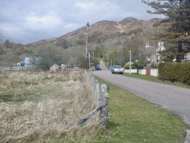
Image: © Richard Webb Taken: 2 May 2021
Beoraidbeg, at the north end of Morar village is now a dead end road since the new A830 road was built to the west.
Images are licensed for reuse under creativecommons.org/licenses/by-sa/2.0
Image Location
Latitude
56.974502
Longitude
-5.824219